Quharity mystery

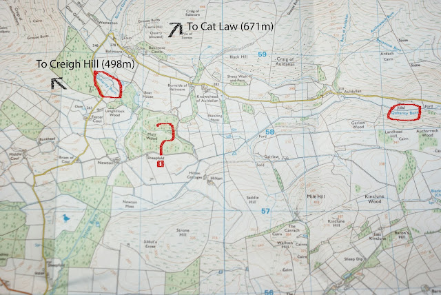
Tracing out the boundary of the Tay catchment was easy. The watersheds are clear on the maps, everywhere except for an area west-north-west of Kirriemuir. It's the mystery of the Quharity Burn. This water flows out of the southern fringe of the Mounth, only to be lost in a bog and have its waters stolen and rustled into the Loch of Lintrathen (off the bottom left of the map below) and eventually the River Isla. However the burn and its name are resurrected a short distance further on, re-starting the journey from small beginnings towards the River South Esk. Humans are probably the culprit here. The Inzion Burn, which steals the original Quharity Burn's waters and takes them south-west, is suspiciously straight. It looks like a channel deliberately cut to drain the bog. Newton Moss, at the head of the Inzion Burn, is still marshy according to the map. So here's an example of where the watershed has been altered by human intervention. What implications does it have for my ro...
