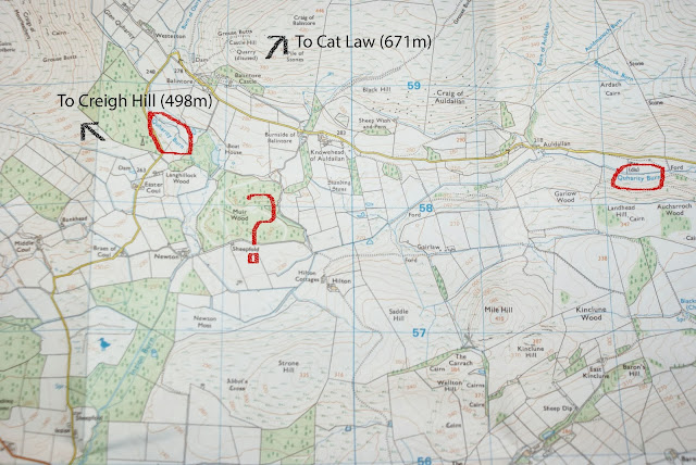
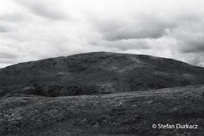
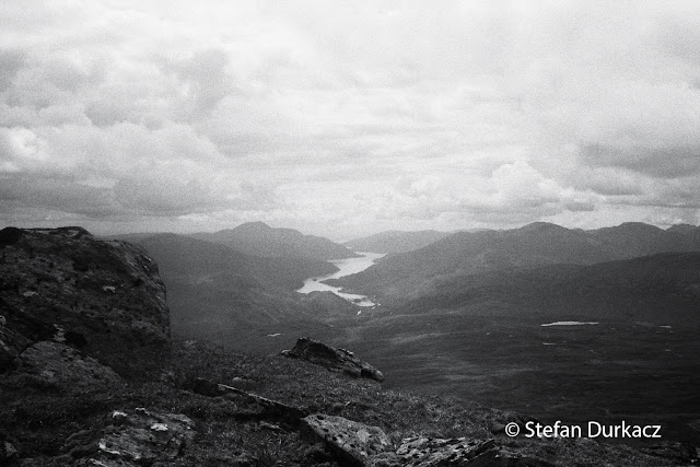
Posts

Showing posts with the label shelter

A sheltered life

Image
Walking and camping: the yin and yang of backpacking. I've written quite a bit about the walking, so here's the story of the campsites. I remembered to take a picture of all except one. Camping in a big puddle in the pouring rain at the back of the Kingshouse Hotel, I wasn't in the mood. The morning of the first day, making porridge and tea at the Tayview caravan park in Monifieth. It's mostly static caravans, right on the seafront, with a little lawn for tents. I arrived by train in Dundee the afternoon before, stomach in knots as what I was about to do sank in, far too late. I bussed out of town. Do you know Monifieth, asked the smiling conductor. She made sure I got off at the right stop. The caravan park has a little cafe and I ate omelette and chips and listened to the aftermath of St Johnstone's Scottish Cup victory over Tayside rivals Dundee United. Synchronicity? The cafe owner came over to chat and dispensed a promising long range forecast when I said I was...

Raising funds for Venture Trust and Scottish Wild Land Group

Eagle-eyed readers will have spotted that I now have a fundraising page on this blog. I'm using the walk to raise money for these two terrific charities, and you can read more about them and why I've chosen to raise funds for them here. Links for making online donations are also up and running. Venture Trust have published an article about the walk on their website, and there will also be a piece about it in the next edition of Scottish Wild Land Group's ' Wild Land News ', due out any day now (if you download PDFs of their excellent magazine, please do consider taking out a membership!). The walk is still several months away and you might want to wait until nearer the time to think about donating, perhaps when you're more certain I'm going to go through with it, or indeed successfully complete it!. That's fair enough, but please do keep it in mind. I believe we're at a cross-roads now, both in our understanding of how important nature and wild lan...

Quharity mystery

Image
Tracing out the boundary of the Tay catchment was easy. The watersheds are clear on the maps, everywhere except for an area west-north-west of Kirriemuir. It's the mystery of the Quharity Burn. This water flows out of the southern fringe of the Mounth, only to be lost in a bog and have its waters stolen and rustled into the Loch of Lintrathen (off the bottom left of the map below) and eventually the River Isla. However the burn and its name are resurrected a short distance further on, re-starting the journey from small beginnings towards the River South Esk. Humans are probably the culprit here. The Inzion Burn, which steals the original Quharity Burn's waters and takes them south-west, is suspiciously straight. It looks like a channel deliberately cut to drain the bog. Newton Moss, at the head of the Inzion Burn, is still marshy according to the map. So here's an example of where the watershed has been altered by human intervention. What implications does it have for my ro...

The Trailstar has landed

Image
My Trailstar tarp arrived just over a week ago, and had its inaugural pitching this morning. It requires a bit of work to get it ready for use. The parcel contained the tarp itself in a yellow stuffsac, a bag of stakes and pegs (five of each, which I'd added to my order as they're not included when you order the Trailstar), a tube of Silnet seam sealer (included), and a very long length of yellow cord for the pegging points (also included). There are no instructions provided. This is about as far removed as you can get from buying a pop-up tent from Decathlon: the customer is assumed to have some practical nous and not to need their hand held. Once you apply the seam sealer, the tarp is non-returnable, so taking care and having a reasonable idea of what you're doing at this stage is particularly important. This is a tarp designed to withstand stormy weather, and the stakes provided are therefore very substantial. The pegs are also bigger than I expected, much bigger than th...

Gimme shelter

Image
This week I made a big decision that I've been orbiting in ever-decreasing circles for months. I always knew it would end this way. I've just ordered a Trailstar tarp from US company Mountain Laurel Designs : MLD Trailstar (image from www.mountainlaureldesigns.com) Also in the post is a custom-made 'bathtub' groundsheet from Oookworks based near Castle Douglas in south west Scotland. So now I'm committed to living under a single-skin shelter for a month. The Trailstar is a shaped tarp meaning it looks like a tent when pitched, giving all-round protection from the elements. If all the rave reviews I've read are to be believed, it's very stable in windy conditions and not as noisy as a tent. Using a couple of trekking poles, it can be pitched in a variety of ways to suit the conditions: high with a big entrance for good weather, low to the ground so it sheds the wind in stormy weather. If I had to summarise why I've opted for a tarp rather than a traditio...

Fun vs. fundamentalism

Image
Following the Tay watershed exactly will be possible for the most part, but not always. In the lowland sections, particularly the initial days from Broughty Ferry to the Highland boundary fault, I'll be threading a way through cultivated land, sticking to minor roads and farm tracks, and maybe the odd dismantled railway line. Forestry may get in the way at one or two points as well. The extent to which I have to deviate from the watershed (or not) in these early days will need to be figured out on the ground. Between Forfar and Kirriemuir the A926 follows the watershed almost perfectly for around three miles. I'm not sure I want to be faithful to this section though. Tramping along a pavement-free 'A' road doesn't appeal, especially when there are options to follow minor roads slightly north, and a combination of roads, tracks and a dismantled railway to the south. The success of the venture depends on it being enjoyable, after all. There's one place where I ma...

The margin of safety (training!)

Highland hills are easily climbed in the imagination, sitting here in a nice warm flat in south London. Each trip to Scotland brings the reality back - the aching legs, puffing, sweating - but that's all forgotten almost as soon as it's over. Only the desired outcomes - the sights and sounds, the satisfaction of accomplishment - remain. My wife has forgotten almost everything about the birth of our first child (I have not). If it wasn't for that, perhaps we wouldn't be expecting our second now. Not to compare climbing hills to childbirth; but still, the same psychological principle is at play. When it comes to the hills, though, a lack of conditioning can mean that the discomfort overwhelms the enjoyment altogether. As I know from experience, going unfit to the hills and struggling rather than enjoying is dispiriting. And that's just on a day trip, never mind day after day consecutively, with a heavy pack. I'm not unfit at the moment, but am I fit enough? Do I h...

Some vital statistics

Image
A little more poring over maps today building up an overall picture of the walk. Some of those vital statistics are as follows: Length : Approx. 282 miles/454km. Perhaps a few miles longer on the ground - I used Mapometer to work it out.  I reckon it will take me around 3 to 4 weeks. Overall I think this is about the right size of challenge - not on the scale of a Brown or Hewitt, but a bit more than say the average TGO Challenge route with a few more hills on the way. Munros en route : 31 . Corbetts en route : 14 A lot of heathery peathagged lumps up to Dalwhinnie, then some characterful classics thereafter. Here they are in the order they'd be climbed on an anti-clockwise walk (Corbetts in italics; an asterisk means they're a short detour from the watershed, usually c.1km, and can be easily included in the route): Beinn Chaorach, June 2012 Mayar* Tom Buidhe Cairn of Claise Glas Maol The Cairnwell Carn a'Gheoidh Beinn Iutharn Mhor Carn Bhac* An Sgarsoch Carn Ealar Beinn ...

Here's the plan...

It was maybe seven or eight years ago that I first thought specifically about walking the bounds of the Tay catchment. However since the age of 14 when I started heading out on my own or with friends to the hills, the desire was there to spend an extended time in the outdoors, to link up familiar locations in long multi-day walks. In those early days I cut my teeth on local hills around Tomintoul where my grandfather owned a house for forty years, spending many a day in the Cromdales or in the hills around Glen Livet and Glen Brown, wandering over the little hills whilst daydreaming about the bigger ones. I shortly moved on to exploring the high Cairngorms, quickly climbing my way through the Munros in a series of summer overnight trips, staying in the bothies - Ryvoan, Faindouran, Corrour - often with our dog at the time, Sam, in tow. The thrill of self-sufficiency, of waking up in the mountains, was addictive. I also slept rough on occasion, in the heather in Glen Avon swaddled in a ...

Enjoy yourself - It's later than you think.

Image
Today I turned 40. Today is also the day I started planning - planning , not daydreaming about - a big challenge that has been knocking around in my mind for a number of years. The two may not be entirely unconnected! I plan to indulge, as never before, the greatest obsession that has stayed with me throughout most of my life: hills and mountains, in particular Scottish ones. If this obsession was a pet dog, the RSPCA would have confiscated it years ago due to neglect. Brought up in Scotland until my mid 20s, for most of the last 12 years I've lived in London. I work full-time, I'm married and have a two-year-old toddler. Trips to the Scottish hills are few and precious. Whilst hillwalking friends resident in Scotland casually look forward to their weekend climb, I'll endure weeks and weeks of anticipation, praying that the weather lottery will come up at least vaguely in my favour. Still, over the years I've managed to chalk up 192 Munros and 50 Corbetts to date, plus ...