Posts

Island time

Image
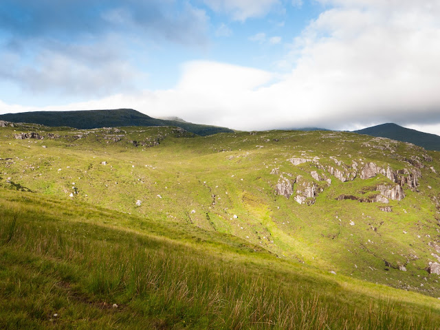
Early morning, near the end of a week of family camping on Harris, I sneaked out to the car while the children slept the deep sleep of tired, sore legs and fresh air. Minutes later I was swooping along, riding the rollercoaster road from beach and sea loch-head saltmarsh, following tilting rows of telegraph poles up to barren, slabby mountain passes. I was aiming for the cloud-swathed heart of Harris where wild mountains climb from sea to summit and dark rocky glens curve into the interior. The Clisham is the crowning hill, the highest on the Outer Hebrides, but I didn't want to just 'raid' it from the highest point on the road. The bridge over the Abhainn Sgaladail, which drains the northwestern aspect of Clisham and its satellites, is a much more sporting 50 metres above sea level. Wet moorland gives way to slabby pavements on the first top, Tomnabhal. Huge Loch Langhbhat wends north from its mountain cradle into the flat watery maze of inland Lewis. This is recognisably ...
Corserine and the Rhinns of Kells

Image
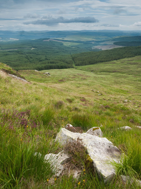
I took a day trip to climb Corserine and the Rhinns of Kells, a rough and nobbly ridge to its south. New territory, this: I've never been hillwalking down in Galloway before. Commercial forestry flourishes here in a climate slightly more warm, moist and benign than the Borders hills to the north-east. It's also wilder, the forests and hills guarding a rough and trackless interior of hill lochs, cliffs, crags and bogs between the Corserine ridge and the parallel range to the west stretching from the Merrick north to Shalloch on Minnoch. A different world from the rounded profiles of the Borders. Driving here from Edinburgh is fun too, especially through the Lowther Hills via the Dalveen Pass and the ancient village of Moniaive with its deep trove of historical connections, and streets barely wide enough to navigate a car through. Pretty but somehow gnarly rather than chocolate box - I got the feeling this place had seen a lot. There's plenty to explore down this way. I stru...

Everybody knows this is nowhere

Image
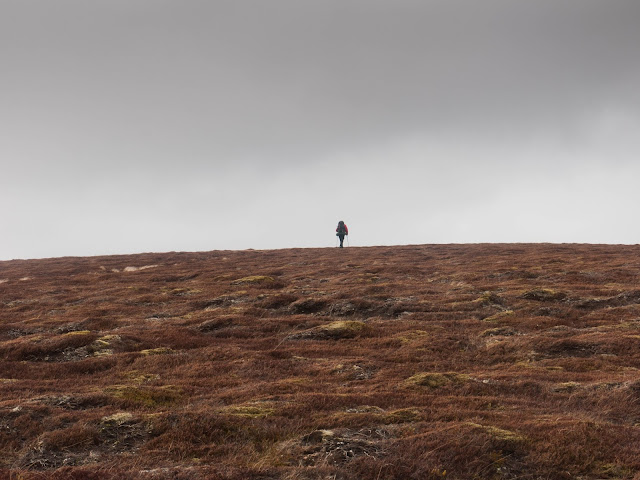
Three days, two camps, 36 miles of tramping between two Highland villages, and just enough weather to make us uncomfortable if not quite threatened. There was a bit more to it than that though. The walk started through parkland around Blair Castle. Mick met me from the train at Blair Atholl station. Fife had been bathed in sun but here amongst the hills the clouds were heavy and rain threatened. We walked up through Glen Tilt, losing layers as we went. In conversation we missed signs for a diversion from the path around a washed-out section of track. We weren't the first judging by the irate reaction of the contractors as we rounded the corner towards them. They let us past - just! Glen Tilt has a long history of habitation. We crossed the river to the west bank, continuing on into the wilder middle reaches of the glen. We passed the barest remnants of old crofts, just piles of grey rock now, and remains of drystone walls climbed the hillsides. Mick sensed an atmosphere, and I did ...