A couple of days ago I took an early morning bus down to Galashiels and walked a section of the Southern Uplands Way to Innerleithen. Summer's days are numbered and although it was warm and sunny, there was a morning coolness that lingered and a subtle lack of edge to the sun's strength: though in shorts and a t-shirt and not applying sunscreen until later in the day, I didn't burn at all.
The willowherb and heather blazed, the final act of summer, and the air was often thick with the scent. There was still enough light and warmth to stir up an abundance of butterflies and bumblebees.
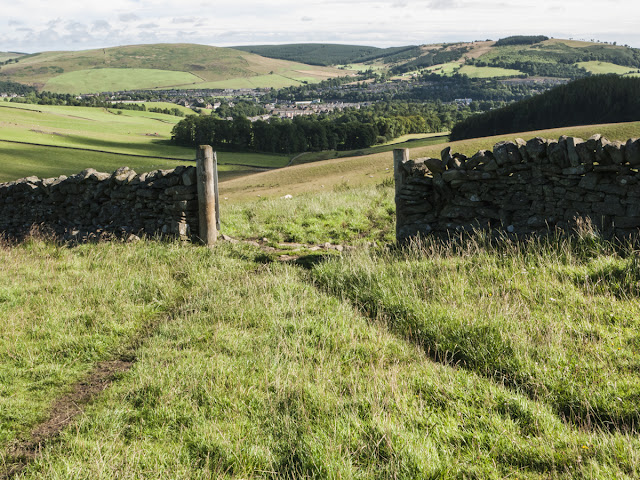
This is a wonderful section of the Southern Uplands Way. It follows old drove routes over the spine of the hills, culminating at Minch Moor and a descent between two old drystone walls, guiding the drove road through cultivated lands, down to Traquair. The views are immense, the skies wide, and the broad flanks of the hills are huge canvases for the sun and the clouds. The trail is ancient and and skillfully routed, being mostly dry and stony. Over the centuries it has seen drovers, monks and medieval armies come and go. Frontier country: Romanised like no other part of Scotland (look out for the 'Chester' place name throughout the Borders), with many place names betraying old cultural and linguistic links to Northumbria.
Overall, the Southern Uplands Way has a reputation as a tough route and although this section was easy going today, I could understand why. Though not quite reaching 2,000 feet, it's exposed. There are other similarly long, committing sections over wild moorland, serious undertakings in poor weather or under snow.
Here's a selection of pictures from the walk, in chronological order.
 |
| Looking back to Galashiels |
 |
| Bridge over the Tweed at Fairnilee |
 |
| Emperor moth caterpillar |


A Grand Day Out, Gromit!
ReplyDelete:-)
It's a dog's life alright :-) Would like to do the whole Southern Uplands Way at some point although there are a few turbines around in places:-(
Delete