Posts

The long and windy road

Image
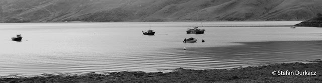
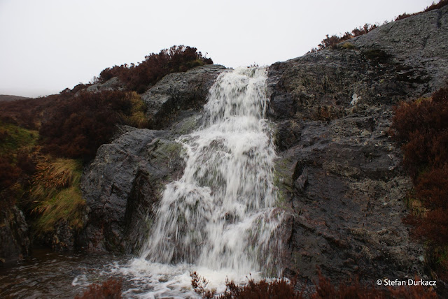
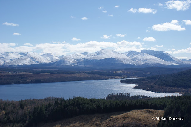
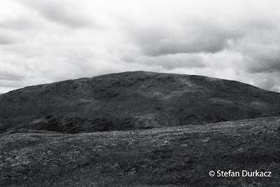
Back from a long weekend in Scotland, the last until Christmas as the baby is due in September. It was a mixed bag, with an 8 hour round trip to Arnisdale on Saturday to climb Beinn Sgritheall followed on Sunday by a wonderful afternoon and early evening wander through the Ochils west of Glen Devon. The wind was the dominating feature of the weekend, closely followed by too much driving and an annoying cold I couldn't quite shake. The purpose of the pilgrimage to Beinn Sgritheall was to meet a friend who was down to his last six Munros. I wouldn't be able to join him for the grand finale on Mull in September but wanted to be there for at least one of his final few, hence this rather crazy arrangement. Myopic Munro bagging results in these situations where the driving outweighs the walking. Beinn Sgritheall is remote and brutally steep. It eschews the small talk and gets straight down to business with a relentless climb from sea level at Arnisdale to the summit. On a day of low ...

Blown off the straight and narrow

Until I started planning this trip I was really quite a blinkered Munro bagger. I've climbed 192 of the things now. I've explored plenty of other hills besides, but the driving ambition has always been to complete the Munros, and most of my excursions in the Highlands have been planned around that. My attitude is starting to change though. This year I've mostly confined myself, not in any strategically planned way, to below 3,000 feet - just visiting places I've long wanted to visit, or revisiting old haunts, and generally letting the eye and imagination wander over the maps. There are three reasons for this I think. Number one is the process of thinking through and mapping out the Tay watershed walk. Following the route from start to finish is the real objective - the peaks along the way just happen to coincide with it. The red felt tip line squiggling its way over the OS maps is like a river, and the task is to get in and let it carry me from one end to the other, and...

The wilderness is closer than you think

Image
We spent the first week and a half of May in Scotland, although it felt more like March. Hamish Brown in Hamish's Groats-End Walk talks about the 'peewit storms' - a long-observed propensity for cold and snowy weather to occur in the Highlands in early May. I climbed Glas Tulaichean and Carn an Righ in sleet and snow on 5th May last year, and driving north to Dornoch on 3rd May this year we encountered snow on Slochd summit and a fresh coat of white on the higher hills. Overall the poor start to the summer has reminded me of the reality of long-distance backpacking: there are days of bad weather to be endured as well as good weather to be savoured. On those bad days there's usually nothing for it but to accept the discomfort of being wet and cold, and get on with it. If the Tay watershed walk is to be a success I'll need to have some resilience and mental fortitude to cope with days of walking and wild camping in bad weather. I was well tested in that regard this we...

Fun vs. fundamentalism

Image
Following the Tay watershed exactly will be possible for the most part, but not always. In the lowland sections, particularly the initial days from Broughty Ferry to the Highland boundary fault, I'll be threading a way through cultivated land, sticking to minor roads and farm tracks, and maybe the odd dismantled railway line. Forestry may get in the way at one or two points as well. The extent to which I have to deviate from the watershed (or not) in these early days will need to be figured out on the ground. Between Forfar and Kirriemuir the A926 follows the watershed almost perfectly for around three miles. I'm not sure I want to be faithful to this section though. Tramping along a pavement-free 'A' road doesn't appeal, especially when there are options to follow minor roads slightly north, and a combination of roads, tracks and a dismantled railway to the south. The success of the venture depends on it being enjoyable, after all. There's one place where I ma...

Freeze-dried Easter

Image
A long weekend in Scotland with the family presented an opportunity to get out into the hills for a couple of days. At least I now have a new excuse: I'm in training! The venue was the complex little range of hills in the angle between Loch Arkaig and Loch Lochy. I was carrying a fairly heavy pack with ice axe, crampons and extra thermal clothing as well as all the usual gear - tent, sleeping bag, food for a night and two days, stove, gas canister and all the other bits and pieces. The weather:  benign with lots of sunshine and little wind; however it was very cold - the tail end of the coldest March in 50 years. Although the wind was generally light it was a biting easterly that was hard to ignore. Looking south east over Loch Lochy to the Grey Corries, Aonachs, Carn Mor Dearg and Ben Nevis Aside from the pure pleasure of having a break from work and getting out into the mountains, this was a good chance to test my fitness and also various bits of gear I've gradually been acqu...

The margin of safety (training!)

Highland hills are easily climbed in the imagination, sitting here in a nice warm flat in south London. Each trip to Scotland brings the reality back - the aching legs, puffing, sweating - but that's all forgotten almost as soon as it's over. Only the desired outcomes - the sights and sounds, the satisfaction of accomplishment - remain. My wife has forgotten almost everything about the birth of our first child (I have not). If it wasn't for that, perhaps we wouldn't be expecting our second now. Not to compare climbing hills to childbirth; but still, the same psychological principle is at play. When it comes to the hills, though, a lack of conditioning can mean that the discomfort overwhelms the enjoyment altogether. As I know from experience, going unfit to the hills and struggling rather than enjoying is dispiriting. And that's just on a day trip, never mind day after day consecutively, with a heavy pack. I'm not unfit at the moment, but am I fit enough? Do I h...

Some vital statistics

Image
A little more poring over maps today building up an overall picture of the walk. Some of those vital statistics are as follows: Length : Approx. 282 miles/454km. Perhaps a few miles longer on the ground - I used Mapometer to work it out.  I reckon it will take me around 3 to 4 weeks. Overall I think this is about the right size of challenge - not on the scale of a Brown or Hewitt, but a bit more than say the average TGO Challenge route with a few more hills on the way. Munros en route : 31 . Corbetts en route : 14 A lot of heathery peathagged lumps up to Dalwhinnie, then some characterful classics thereafter. Here they are in the order they'd be climbed on an anti-clockwise walk (Corbetts in italics; an asterisk means they're a short detour from the watershed, usually c.1km, and can be easily included in the route): Beinn Chaorach, June 2012 Mayar* Tom Buidhe Cairn of Claise Glas Maol The Cairnwell Carn a'Gheoidh Beinn Iutharn Mhor Carn Bhac* An Sgarsoch Carn Ealar Beinn ...